Activity directions >>> Scientific activity
The analysis of natural resources use state
Subsoil use in the Okrug should be carried out in conformity with existing environmental legislation.
The staff of the «Nature management» department, using innovative technology, collects and analyzes information on the environment, prepares recommendations for management solutions in and around environmental protection for the Okrug administration.
Department created and continuously updated spatial database for territories of limited economic activity (the territories of traditional nature management, specially protected natural territories, forests with conservation status), the natural resource potential of the Okrug (forestry, hunting, fisheries, land categories and land resources, ecological status of the Okrug), as well as anthropogenic, social, geographic, demographic factors of quality of life of KhMAO-Yugra.
The methods used for environmental studies are diverse: from field expeditions to the interpretation of remote sensing data, from the development of individual demonstration maps to create within the Okrug atlases (Atlas «Specially protected natural territories and forests of KhMAO» in two parts, Atlas "Ecology, natural resources and socio-demographic development of KhMAO – Yugra").
Laboratories of natural management and natural resource monitoring are carried out expeditiously:
1. Database maintenance on land use and nature management.
2. Mapping of environmental facilities, ecology modeling of watersheds.
3. Analysis of the ecological significance of ecosystems of the Okrug.
4. Ecological monitoring of environmental quality of the Okrug (surface waters, bottom sediments, snow fallings).
5. Analysis of the implementation of licensing agreements of subsoil users in the field of environmental protection and ecological safety.
6. Analysis of the nature-conservative measures of the Okrug Government, as well as analysis of information on pipeline accidents, oil contaminated soils and remediated lands.
7. Dataware of authorities for solutions making in the environmental protection and ecological safety.
8. Adjustment of infrastructure’s objects placement, taking into account the existing legislation in environmental protection.
Laboratory for Earth remote sensing provides accurate and timely information about the terrain on the basis of archival and fresh space images from the satellites Landsat-7,8, ALOS/PRISM, AVNIR-2, QuickBird, Formosat-2, RapidEye, covering the entire territory of KhMAO-Yugra.
With the help of remote sensing are being monitored:
1. Plots of oily lands.
2. Mining places of widespread minerals.
3. Places of popping of associated gas (torches).
4. Logging, felling and reforestation plots.
Large-scale analysis of industrial sphere and environmental conditions in the Okrug are realized by using its own design – Geoportal YUGRA.
This is a web-mapping service of access to spatial data throughout the Khanty-Mansiysk Autonomous Okrug – Yugra and cross-border regions, allowing to view posted maps of different thematic scope interactively using any of main modern browsers.
Geoportal YUGRA is available for all web visitors at http://maps.crru.ru, while a condition of limited (restricted) access to the relevant information on the natural environment, industrial infrastructure and Okrug ecology, based on satellite imagery, is observed. Limited access to this resource is provided for executive authorities - Departments and Services, administrations of some municipalities, Khanty-Mansiysk interdistrict environmental prosecutor's office. While data entry the database is correcting and updating.
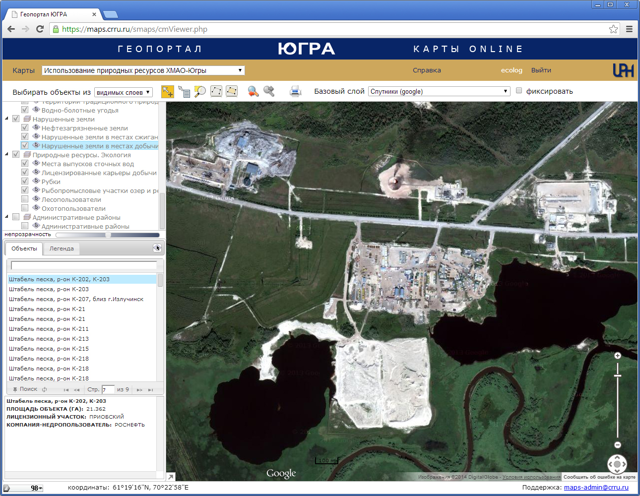
Picture. Web site Geoportal YUGRA (fragment of a work window of a limited access user).
The most significant works in environmental protection and ecological safety of Yugra generated by «Nature management» department:
• «Program of rehabilitation of ecological situation in Yugra for the period up to 2010».
• «Reducing the effect of drilling waste on the environment and their recycling».
• «Program of development and restructuring of Forest industry in Yugra».
• «Fulfilment of environmental monitoring outside the boundaries of the licensed subsoil plots in the Okrug».
• «Analysis of environment state in Yugra».
• «Ensuring of on-line space remote sensing information to conduct environmental monitoring».
• «Preliminary estimate of the environmental effect of development territory Polar Urals and the development of requirements for placement of manufacturing entities to ensure acceptable environmental effect».
"Scheme of location, using and protection of hunting areas of the territory of Khanty-Mansiysk Autonomous Okrug – Yugra ".
Main activities of the nature management department:
• Investigation of the initial contamination of environmental components on licensed subsoil plots.
• Projects of environmental monitoring of licensed subsoil plots.
• Estimate the effect on the environment.
• Design of sections of «Environmental Protection» of project documentation, resoil projects, sanitary protection zones, development of forests.
• Inventory of oily lands, estimate of the effectiveness of realized resoil works concerning rehabilitation of oily plots.
• Landscape monitoring using Earth remote sensing data.
• Assessment of the environmental damage to associations of indigenous minority of the North, the Siberia and the Far East of the Russian Federation as a result of economical and another activity on places of traditional nature management and traditional activity of indigenous minority of the Russian Federation.